Teledyne CARIS, the Fredericton specialist in underwater mapping, will lead a new project funded by Canada’s Ocean Supercluster to develop cloud-based software to be used in mapping the ocean floor.
The Ocean Supercluster announced the $2.1 million project on Friday, saying that it would contribute $944,000 to the initiative, its first led by a New Brunswick partner.
The CARIS Cloud Technology Project aims to allow remote operations and training in underwater mapping that will reduce the need for software personnel in the field. In keeping with the global focus on remote work brought on by the pandemic, it will allow these people to work from an office or home rather than at sea.
“We are driven to embark on this project in support of our clients who are being compelled to embrace working remotely not only by industry trends but also in the face of a global pandemic,” Sergio Marques, Director of Project Management at Teledyne CARIS, said in a statement. “The Ocean Supercluster and the new Accelerated Oceans Solutions Program provided us with the ideal springboard for our vision to deliver what automation could look like and we are excited to partner in this Canadian initiative.”
CARIS was founded in Fredericton in 1979, and has been producing marine mapping software ever since. In 2016, the company was acquired by Thousand Oaks, Calif.-based Teledyne Technologies, which makes a range of technology, including sophisticated instrumentation and digital imaging products.
The Ocean Supercluster Unveils Four Projects worth $12.2M
CoLab, Bluedrop, SmartICE To Lead Three Projects
Now Teledyne CARIS is working with the Ocean Supercluster to help facilitate remote mapping of the ocean floor. Based in Atlantic Canada, the Ocean Supercluster is dedicated to supporting ocean innovation and marine industries in Canada.
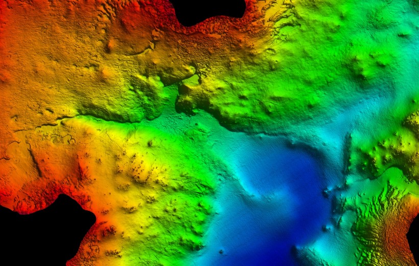
The aim of the project is to help organizations charting the ocean floor do so remotely using specialized, cloud-based software. Such a product should lower costs and improve safety, especially in areas where measurements are currently conducted using regular field surveys.
Burnaby, B.C.-based Ocean Floor Geophysics, or OFG, which gathers data using autonomous underwater vehicles, has joined the project to test and integrate these new tools. OFG and Teledyne CARIS have worked together before as members of the GEBCO NF- Alumni Team, which last year won the US$4 million Shell Ocean Discovery XPRIZE.
The Supercluster said hydrographic offices around the world, including The Canadian Hydrographic Service, will benefit from having commercial access to the new CARIS project’s technology to support remote operations for ocean mapping and charting.
The cloud software platform will also benefit students and professionals by offering a new approach to virtual training assisted by cloud-based software, said the statement.
The other partners in the CARIS Cloud Technology Project are: the Marine Institute of Memorial University of Newfoundland; University of New Brunswick Ocean Mapping Group; Rimouski, Quebec-based CIDCO; and Ottawa-based H2I.
“Collaboration is the key to moving technology from idea to execution,” said OFG Chief Executive Matthew Kowalczyk. “The benefits of OFG working with Teledyne CARIS have already been demonstrated as members of the winning USV/ASV system for an XPRIZE. We look forward to building on that cooperation with our teammates on this AOSP project.”


