Halifax-based KorrAI, whose artificial intelligence-powered solution helps such clients as miners analyze aeriel photos and geographic images, is midway through an equity funding round it hopes will reach $500,000.
The company is developing an AI platform that can be used by mining and environmental services companies to study patches of land, using satellite images and other data.
It has created a bit of buzz in the startup community, winning $25,000 in the Volta Cohort pitching event last spring and $50,000 in Innovacorp’s Accelerate program. KorrAI is now looking for a half-million-dollar funding round and has found commitments for about half of it.
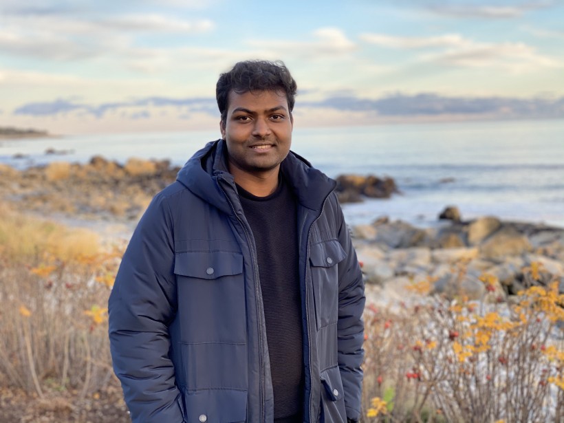
“We are working with five customers currently for beta-testing the platform,” said Co-Founder and CEO Rahul Anand. “One successful pilot was with a Vancouver-based mineral exploration company that wanted to use AI in gold exploration drill program planning.”
Anand has worked in artificial intelligence in India, where he co-founded an automated car marketplace that was eventually acquired. In 2019, he immigrated to Canada and was soon working with mining companies in Western Canada on improving analysis of their geographic data.
These companies – especially small and medium-sized enterprises – have a big problem in analyzing geospatial images like satellite photos, as well as optical, radar, thermal, and magnetic surveys. These companies need to go through layers upon layers of these images, which often have different information on the same patch of turf. It’s costly and time-consuming.
Anand said these companies are now adopting more innovation to improve the analysis of this data, and KorrAI’s software automates the process.
“We are bringing together a range of high-quality satellite and aerial earth observation data . . . on a state-of-the-art computing platform that is specifically targeted at the $109 billion-dollar Canadian mining industry,” said Anand.
This solution can identify objects, detect patterns, generate spectral indices including vegetation, wetlands and geological indices on high resolution visible and hyperspectral geospatial imagery.
KorrAI has already completed one pilot with a mining company in British Columbia, which was planning a gold exploration program. The startup was able to use AI to study a 1,000-square-kilometre area, and identify seven locations, from which 105 rock samples were collected. Over one-quarter of these samples had more than 50 parts per billion gold.
Anand is now based in Halifax, and is working with another Canadian co-founder and a contract team of developers in India. He plans to expand the team in Halifax.
KorrAI is now working on beta-tests with four customers in Canada and one in the U.S. Once these tests have concluded, Anand hopes to launch Version 1.0 of the product in April.
Said Anand: “In a nutshell, we would like to establish the platform with about a dozen customers over the next year.”


