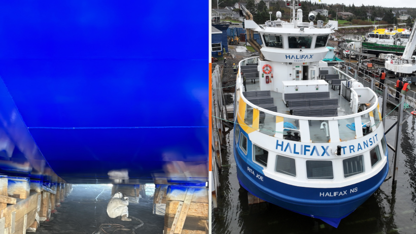
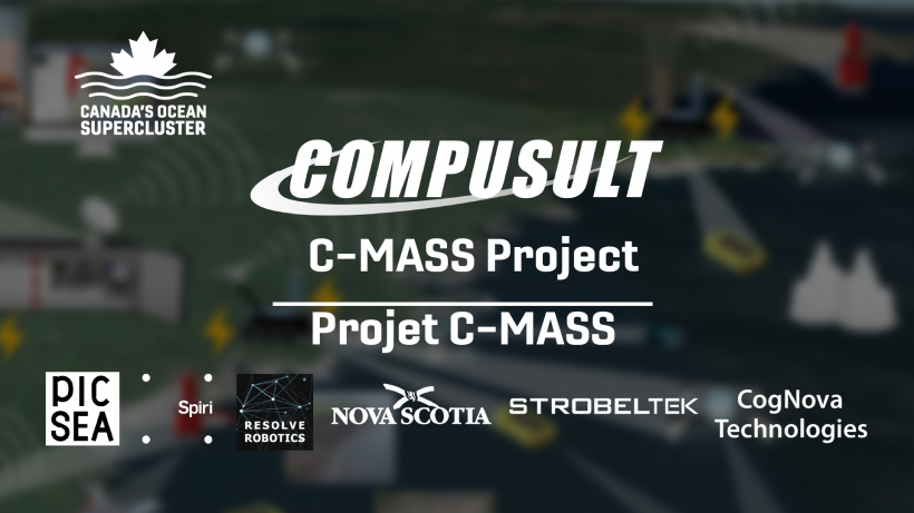
Mount Pearl, NL-based Compusult, a geospatial software company, is leading a new $6.3 million project announced by Canada’s Ocean Supercluster last week to help chart the country’s coastline.
The supercluster issued a press release unveiling the C-Mass Project, which stands for Coastal Mapping/Monitoring via Autonomous Systems and Services. Using uncrewed autonomous vehicles, the team behind the project will develop a near-real-time monitoring solution for coastal waters to deliver actionable data to marine industries.
As well as Compusult, the consortium working on the C-Mass project comprises Canadian partners StrobelTEK, Spiri Robotics, PicSea Canada Ltd., CogNova Technologies, and the Government of Nova Scotia as well as international partner Resolve Robotics. The supercluster is providing $1.8 million in funding with the rest coming from the partners.
“This project brings together technologies from a team of small, world-leading tech companies, which is led by Compusult,” said Compusult Vice-President Paul Mitten in a statement. “Together, we are designing a system unlike anything in the world right now, using well-developed GIS [geospatial information systems] software, and a suite of robotic vehicles by air, land, and sea to visualize, monitor, and manage coastal zone data.”
Up until now, coastal mapping programs have proven costly and are often out-of-date quickly. The C-MASS project aims to leverage partners’ existing capabilities in GIS, internet of things, and autonomous uncrewed systems to collect and maintain actionable data for marine industries. These may include coastal defence; life sciences, aquaculture or shellfish harvesting, climate change monitoring, emergency and infrastructure planning.
The partners say the project will create 10 full-time jobs.